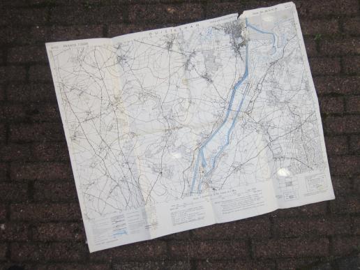
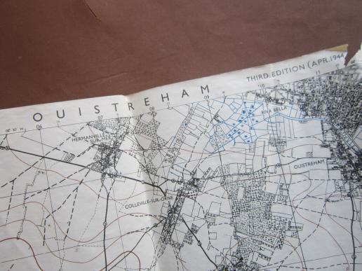
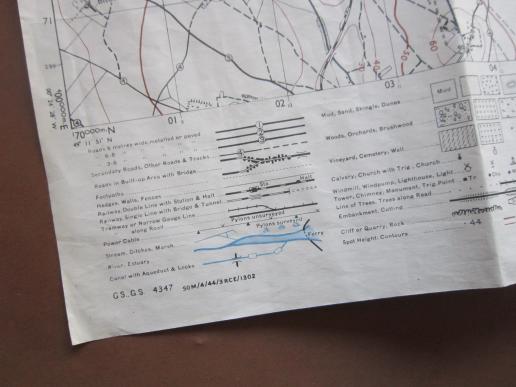
A RARE and difficult to find not so often seen British made April 1944 dated OUISTREHAM area Operation DEADSTICK map
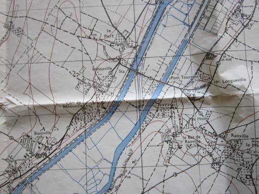
This is a neat example of a RARE and difficult to find not so often seen British made April 1944 dated OUISTREHAM operation DEADSTICK area map. Ouistreham is a French district just north of Benouville and Ranville. These two villages are famous because they were a object during OPERATION DEADSTICK. Operation Deadstick was the codename for an operation by airborne forces of the British Army that took place in the early hours of 6 June 1944 as part of the Normandy landings. This map is April 1944 dated and is in a slightly used condtion with some minor damadge and dirt from years of storage i.e slightly handeling.
Code: 51315